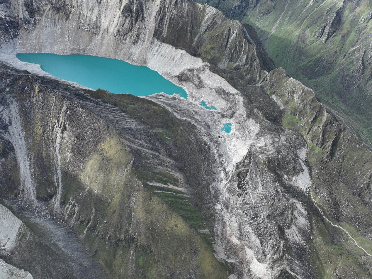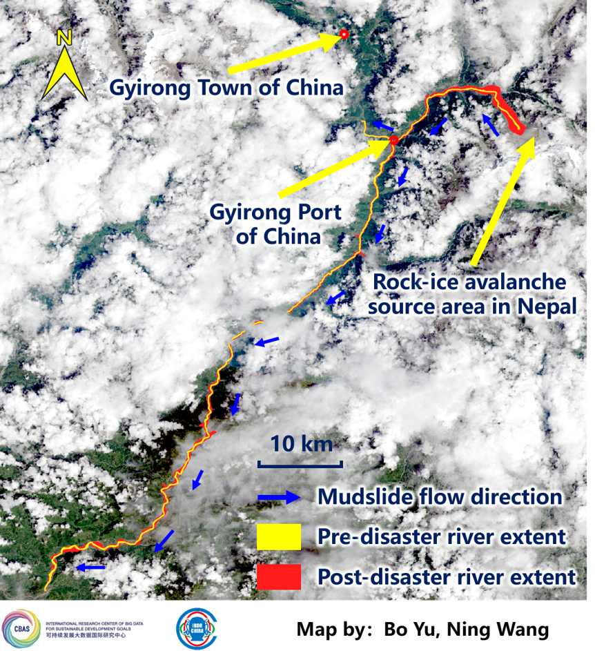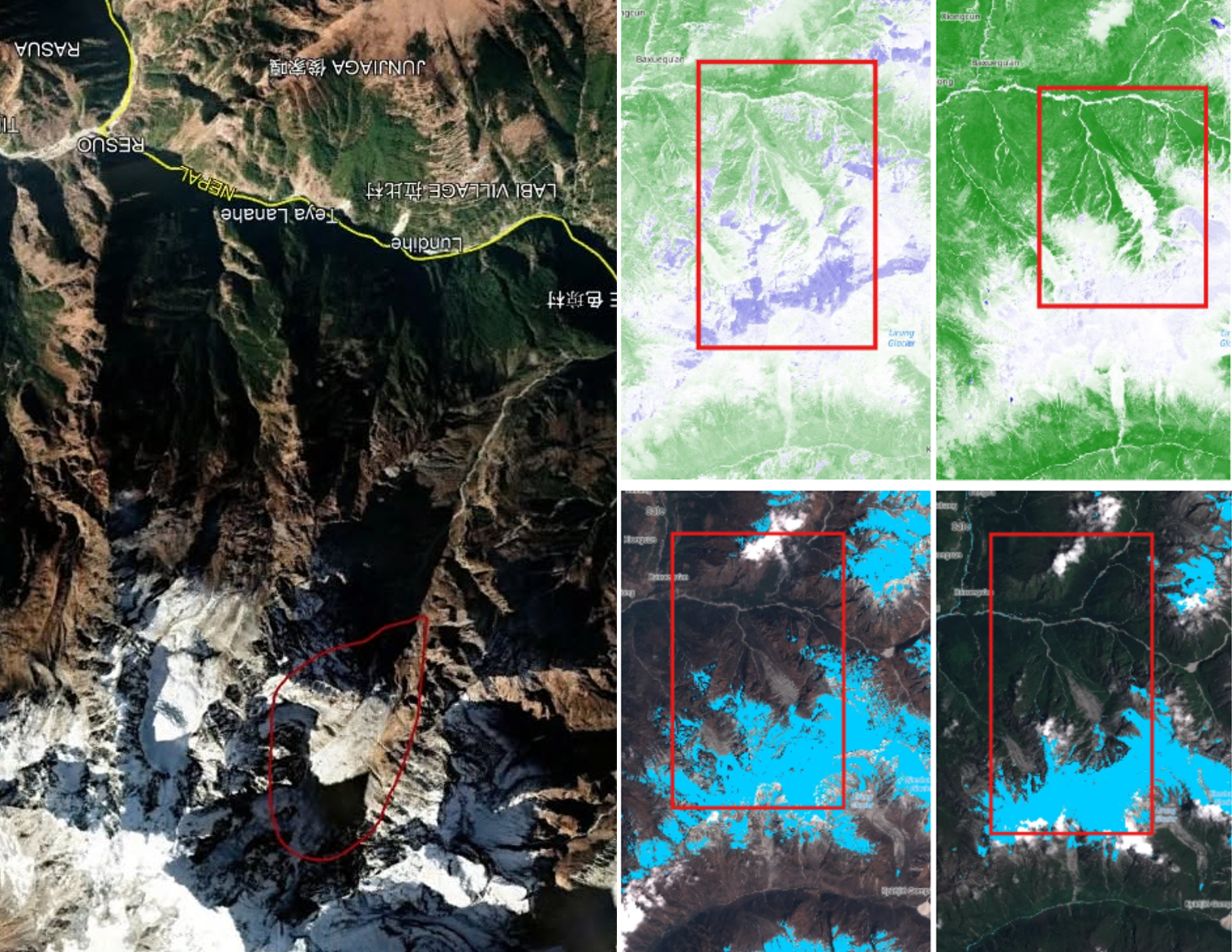
The 26 August 2026 Bhotekoshi flash flood appears to have been triggered by an ice-rock mass failure around the Deding/Langtang region rather than intense localized rainfall. The failure resulted in massive debris flow downstream while the small portion created small temporary natural dams posing threat even after the disaster. The failure is accelerated by the steep gradient and narrow valley, which supported the hydraulic jump that overtopped more than hundreds of feet of structures downstream. The flow further accelerated and concentrated the flood, while the heavy debris load increased its destructive force.
The flood caused catastrophic human, physical and economic impacts along the Bhotekoshi-Trishuli corridor. It resulted in substantial loss of life and missing persons, destruction of settlements, customs and security facilities, extensive damage to roads and more than 30 bridges, disruption of Nepal-China border trade and tourism, severe communication outages, and major damage to hydropower and transmission infrastructure. Preliminary assessments indicate that about 748 MW of hydropower capacity was affected. The event demonstrates how a sudden upstream slope and ice failure can cascade into a highly destructive flood with widespread impacts far downstream.
IRDR Young scientists in Nepal worked together with IRDR ICoE IHRR and IRDR ICoE NSET, developed this rapid report using the secondary data available across the online sources- official pages of NDRRMA and Flood Forecasting Unit of the DHM, and media sources such as Gorkhapatra, OnlineKhabar, eKantipur, etc. rather than collecting data directly from the field.